 | ||||||
WHY IS CHICAGO WHERE IT IS ? by: Richard F. Ward 1999 (Magazine Reprint)
As they say in real estate, the three most important things are location,
location, and location. Picture the settlers several hundred years ago
trying to decide where to live. Initially the single men had to pick a
location that made them feel comfortable with food, shelter and safety.
Later families would have to make those decisions. Sometimes the big picture
makes the smaller picture more understandable. If we step back and look at
the whole country, it would be nice to get from the Atlantic Ocean to the
Gulf of Mexico so a person could trade furs for a frying pan, or whatever.
There were no interstate highways several hundred years ago and the canoe
was the easiest way to move a bundle of furs. Finding the right river routes
without too much portaging required getting advice from others rather than
always experimenting yourself, good advice even in the landscaping business
today.
At the beginning of the Chicago area recorded history, three or four miles
from the lake was a damp plain 12 miles wide with a shallow depression in
the middle called Mud Lake (roughly 6 miles long from Harlem and 47th to
Kedzie and 31st). At the southwestern end, it touched the Des Plaines River
and flowed to the Illinois and then the Mississippi. At the northeastern
end, it touched the south branch of the Chicago River that flowed to Lake
Michigan.
In 1673, Father Marquette was looking for converts and Louis Joliet wanted
more furs and a waterway link to the Gulf. They started at Mackinac,
followed the lakeshore to Green Bay, then took the Fox River to Lake
Winnebago, and then the Wisconsin River to the Mississippi. As they headed
back north, Indians along the way advised them to try a shorter route, the
one they always used: the Illinois River to the Des Plaines, and then a
portage across Mud Lake to the little Checagou River (named for the powerful
wild onion that grew along the banks). Later Father Marquette wrote, "it
would only be necessary to make a canal." That was good advice but it was
175 years before man finally cut that canal and no longer had to haul and
tug boats through the reeking marsh of Mud Lake. And the rest is history.
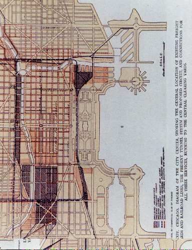
the leaders were saying what Chicago really needed was railroads, not a
shipping canal.
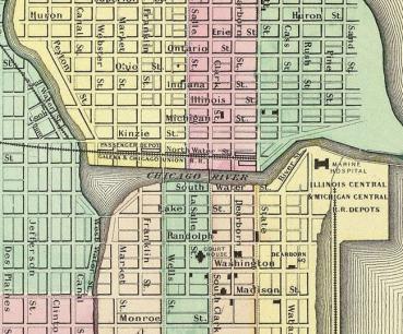
In 1831 there were only 60 persons living in what would become the Village
of Chicago when they qualified with over 150 residents in 1833. That was
also the year the 1000-foot pier was built from the north side of the river
that created a harbor south of the mouth of the river. By 1835 the town had
boomed to 3,265 persons. When the canal was completed in 1848, the city of
20,000 boomed again and within 2 years another 10,000 persons had arrived.
And the growth of Chicago continued.
Reference: "Forever Open, Clear, and Free" by Lois Wille, 1972
Both of the above cover story articles were reprinted with permission from the Fall, 1999 issue of the Landscape Buyer Magazine and the October, 1999 issue of Condo Lifestyles Magazine...( MCD Media, Michael C. Davids, Publisher )
Return to New Eastside Forum HOMEPAGE
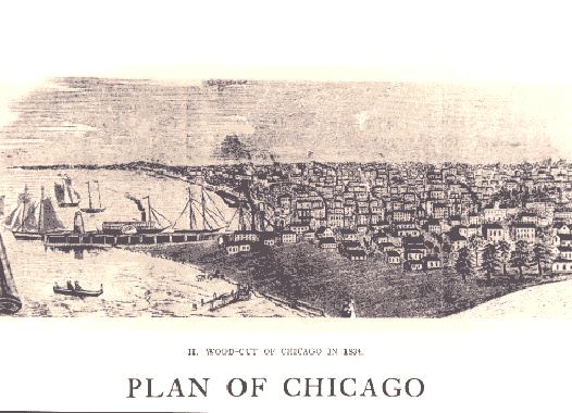
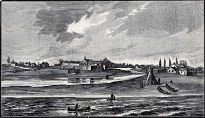
1834 Wood-Cut
<----155 Harbor
<----400 Randolph
<-----360 Randolph
195 Harbor----->
175 Harbor---->
Michigan Avenue
Future Grant Park
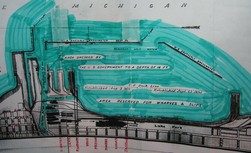
1891 Chicago Harbor Report
...1999 Shoreline.............
THE ORIGINS OF GRANT PARK by: Richard F. Ward 1999 (Magazine Reprint)
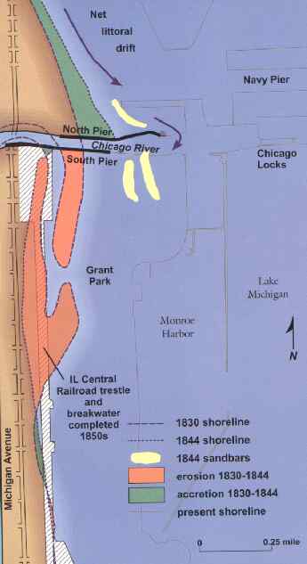
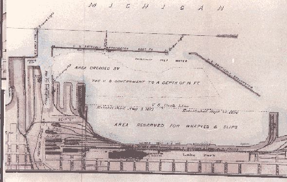
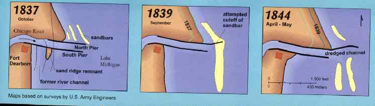
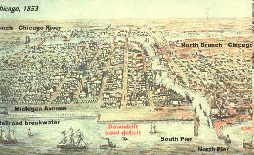
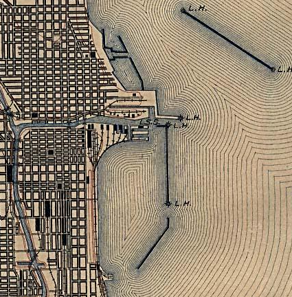
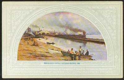
In order to provide a protected harbor in Lake Michigan southeast of the
mouth of the Chicago River, a pier was built in 1833 that extended 1000 feet
from the north bank. Because of the counter-clockwise flow of the water in
the lake, sand began to build up north of the pier. But they did not realize
that severe erosion would occur along the lake shoreline south of the river.
Several fine homes were built on the west side of Michigan Avenue facing the
lake but during every big storm the street would flood and the homes were
threatened. The federal government was asked to dredge a better harbor and
build a seawall but they declined. Finally in 1851, the Illinois Central
Railroad offered to construct the seawall but they wanted the precious
shoreline. The city did not have the money to do it themselves, so they gave
the railroad a 300-foot strip 400 feet east of the west side of Michigan
Avenue. The railroad began immediately to construct a breakwater from
Randolph to 22nd Street. And the railroad acquired slightly less than 2
acres of old Fort Dearborn lakefront from the federal government north of
Randolph to the mouth of the Chicago River. They filled in the lake about
1000 feet east to create a big tract for a passenger terminal and train sheds.
(This is now the site of the Prudential and Amoco buildings across Randolph
from the new Millennium Park.)
After the fire of 1871, the lagoon between Michigan and the railroad
breakwater was filled in with debris from the fire and an 1891 map shows the
new shoreline was the railroad breakwater. Additional fill was added
starting in 1901when dredgings from the river harbor and the Chicago
Drainage Canal were dumped into the lake. By 1909 when the Burnham Plan was
published, the shoreline appears to be very near the present location on the
west side of Chicago Harbor.
Sources: "Forever Open, Clear, and Free" by Lois Wille, 1972
1891 map in Army Corps of Engineers annual report on ChicagoHarbor "Plan of Chicago" Burnham and Bennett, 1909
From 1909
New Eastside
Grant Park
<-----Original Shoreline (red line)
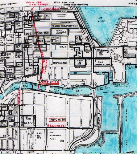
1999 CHICAGO ZONING
PD #70
<-------------------------Only "North Island" was built : (now Meigs until 2002).
Plan of Chicago - 1909
<---------Future New Eastside area (shaded red) filled by Illinois Central RR
<------------Lagoon (west of tracks) filling completed after 1871 fire.
<-------Grant Park (east of tracks)
filled between 1901 and 1909
This page was last updated on: May 25, 2022
This page hit counter was added 5-15-2000 when the homepage counter passed 1000.
<-1000 FOOT PIER
(red color) built in 1833 when population only 200 persons
Additional graphics added in September, 2003
1830-1844 shoreline changes, updrift (north) and downdrift (south) of the river
History of Chicago, Grant Park, and the New Eastside.
Madison


VIEW FROM EAST- New Eastside 1916
VIEW FROM SOUTH (at bottom of picture)-
New Eastside 2002
VIEWS FROM WEST (at bottom of pictures)
400
155
195
175
400
155
195
175
360
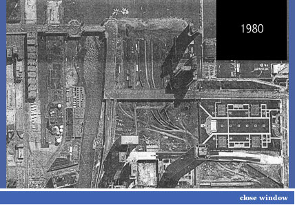
<-----This is the New East Randolph Viaduct that was initially constructed over the railroad tracks sometime before 1886. The automobiles along Lake Shore Drive appear to be from the 1950's era. One Prudential Plaza was built in 1955.
Monroe Street
L.S.D.
Prudential - 1955
<----Chicago River
Lake Shore Drive S-Curve sometime before 1985 when LSD was rerouted around Harbor Point.
N e w
1855 Illinois Central Lakefront
Chicago Fire 1871
Future
New Eastside
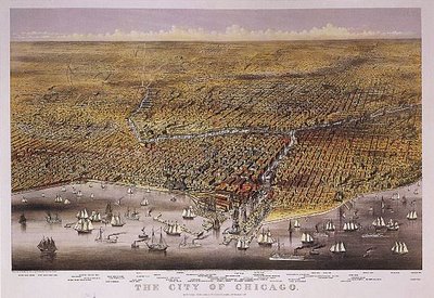
Chicago 1869
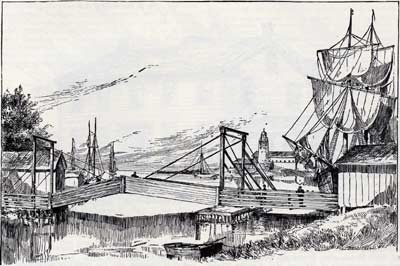
Dearborn Street Drawbridge, 1834
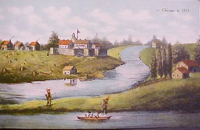
Chicago Lakefront - 1830
Old Lake Shore Drive is where Field Drive is now located (between 400 Randolph and the Buckingham).
<----Spire Site
<----DuSable Park Site
<---- Lake Shore Drive being rerouted about 1985.
360
400
155
N e w E a s t s i d e
River Turning Basin
(before DuSable Harbor)
Chicago River
1927
Randolph Viaduct 1927
Peristyle
1937
Randolph Viaduct
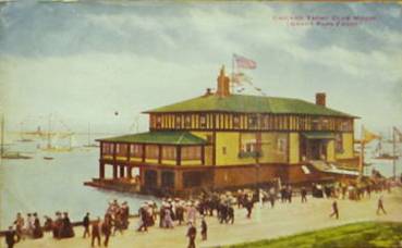
Chicago Yacht Club - 1937
Monroe
<---Future New Eastside
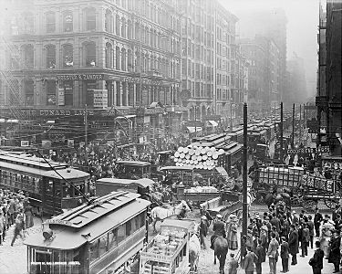
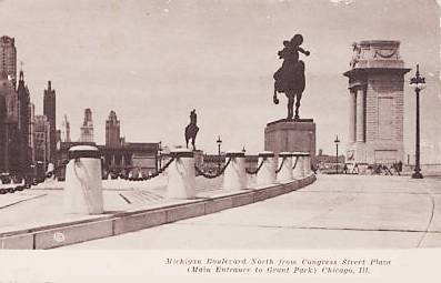
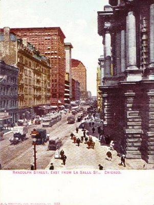
Traffic on LaSalle at Randolph 1909
Monroe
Chicago Yacht Club
As we prepare to celebrate the 100th Anniversary of the 1909 Plan of Chicago, several panel discussions are being organized by the Grant Park Advisory Council. The first GPAC discussion was on September 19, 2008 at the Spertus Institute.
No history of Chicago's Lakefront or Grant Park can be complete without including an indepth review of the 1836 and 1839 Dedication Covenants, and the multitude of Illinois Supreme Court Decisions that have preserved Grant Park for future generations.
Click on this link, and it will open a separate window so you can review the related graphics on both pages:
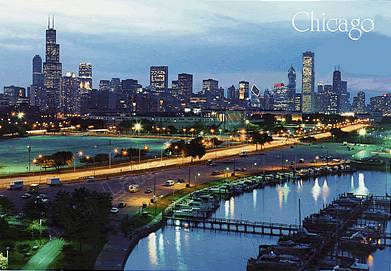
This relatively recent picture is included on this History webpage as a reference.
Adler - 1953
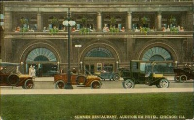
Auditorium Hotel - 1910
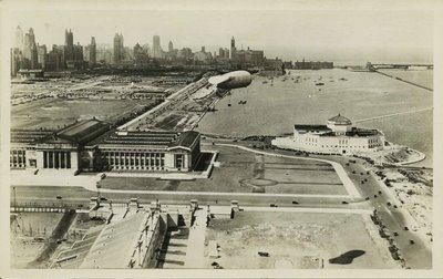
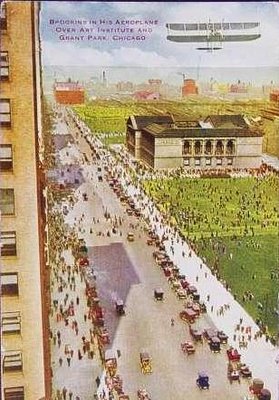
Blimp - 1930
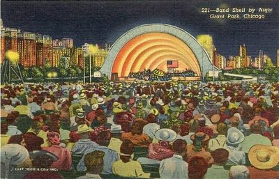
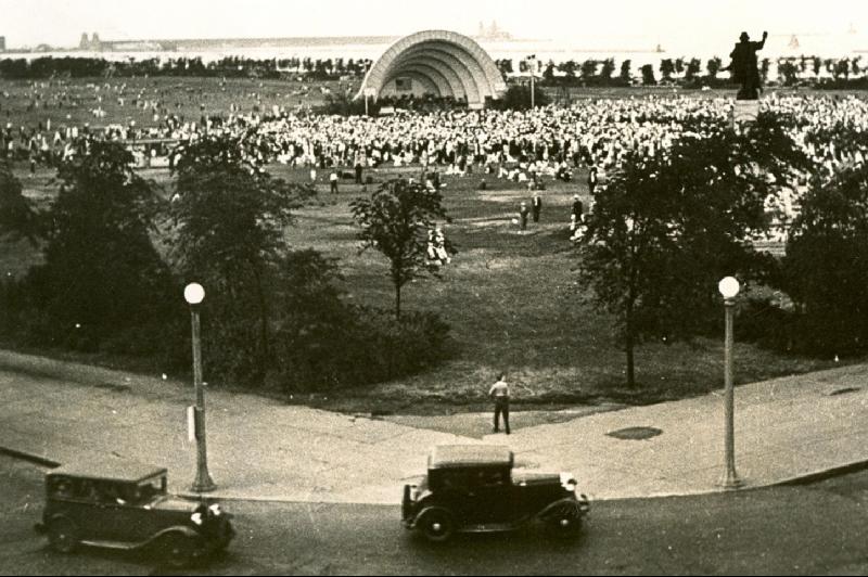
Bandshell - 1935
Michigan and Roosevelt
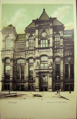
Board of Trade Arch
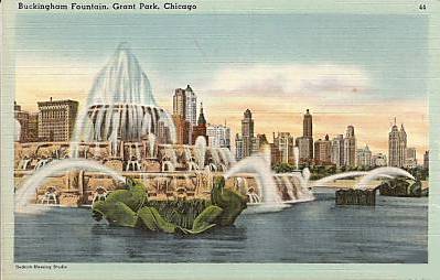
Buckingham - 1950
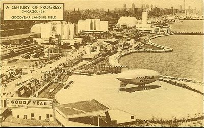
Century of Progress - 1934
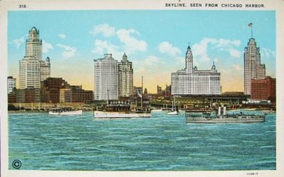
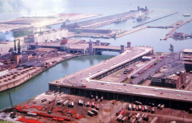
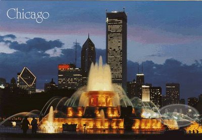
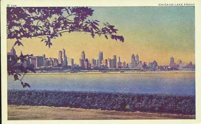
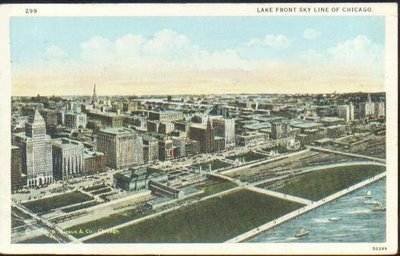
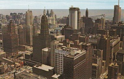
Chicago Harbor
Chicago Yacht Club - 1912
Congress and Michigan
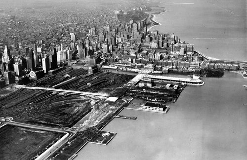
New Eastside - 1947
Picture from Adler - Date Unknown
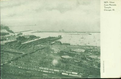
View from Masonic Temple
Date Unknown
<--- Randolph Viaduct
Postcard - Artist's View
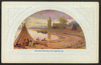
Fort Dearborn - 1804
North Grant Park - 1926
<--- Monroe
<--- Jackson
Randolph --->
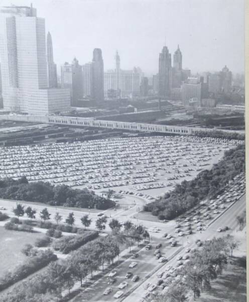
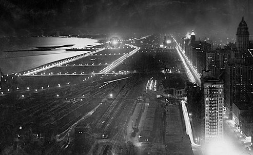
Lakefront - 1940
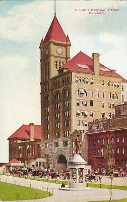
Illinois Center Depot
South of Roosevelt
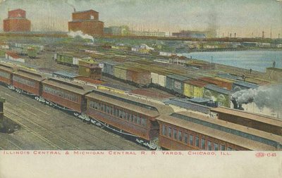
Illinois Central Yards
<--- Future New Eastside
Fort Dearborn - 1831
Recent Lakefront
Future
<---New Eastside
Lake Park and IC Train
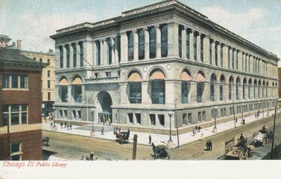
Library - 1906
Washington and Michigan
<-- Future New Eastside - 1960
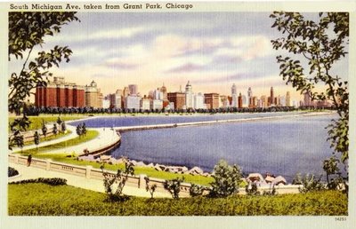
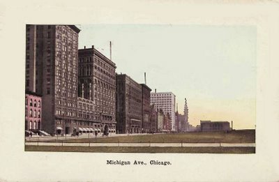
South Michigan Avenue
Looking South - 1960
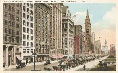
Michigan Avenue -Across from Art Institute
Art Institute
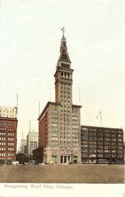
"New" Montgomery Ward Building
Madison and Michigan
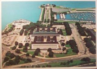
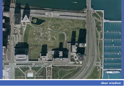
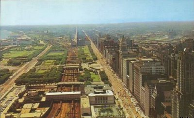
Museum Campus
Navy Pier - 1940
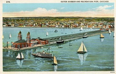
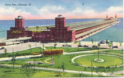
Recreation Pier
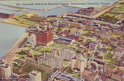
Northwestern Campus
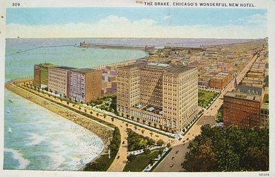
"New" Drake Hotel
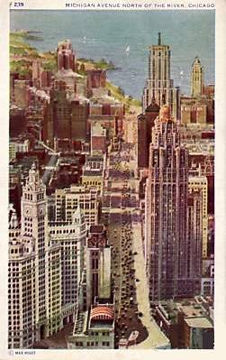
North Michigan - 1960

Original Pergola at Randolph and Michigan
Outer Drive East and Lake Point Tower - 1970
Randolph, East from LaSalle
From Prudential, Top of the Rock - 1960
Prudential - 1968
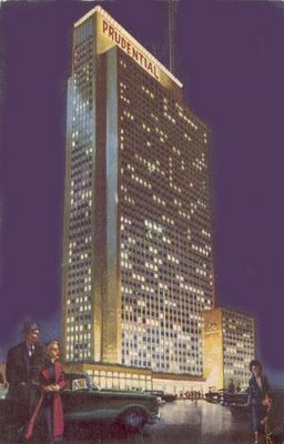
Prudential - 1970
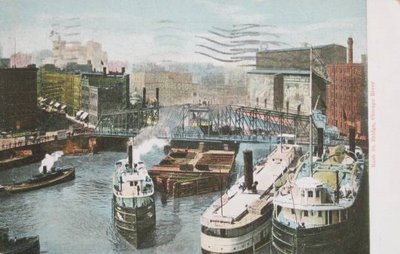
Chicago River - 1960
Rush Street Bridge - 1907
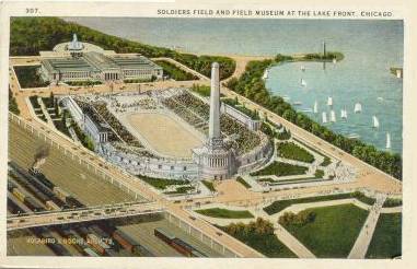
Soldiers Field
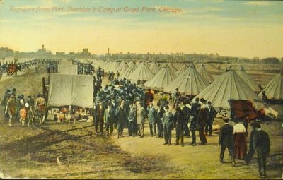
Soldier's Camp in Grant Park
State and Randolph
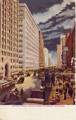
State South from Randolph - 1911
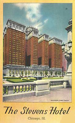
Stevens Hotel - 1938
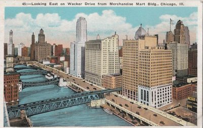
Wacker Looking East
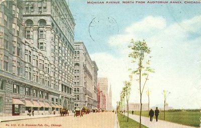
Young Trees on Michigan
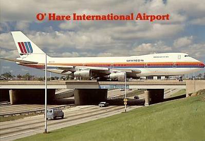
United 747 on O'Hare Bridge Taxiway over Kennedy
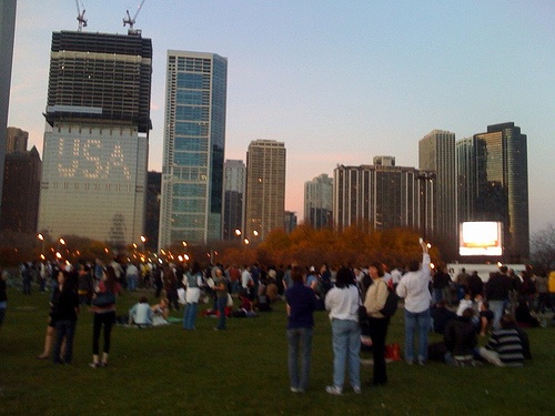
President-Elect Obama Celebration in Grant Park - November 4, 2008
THE WORLD WATCHED HISTORY BEING MADE IN GRANT PARK
.
<---Current Fountain Site
Current Field Drive location
Current Shoreham location
Current Tides location
1891 Chicago Harbor Report
Randolph
Monroe
Art Institute
Postcards
LSD Relocated
Navy Pier
Art Institute
We are always looking to add historic pictures that you may find and send to your neighborhood website.
1985
Columbia Yacht Club
Spire Site
DuSable Site
Art Institute
Chicago River
The pictures, graphics, and postcards following the 1891 Chicago Harbor Report above, are from the 12-volume Vintage Collection at http://chuckmancollection.blogspot.com/
NON-COMMERCIAL USE OF HIS MATERIAL IS WELCOME. PLEASE CREDIT HIS VERY VALUABLE AND USEFUL WEBSITE.
E a s t s i d e
F U T U R E N E W E A S T S I D E
In 1891, limited to 400 foot frontage on Michigan Avenue.
Chicago Yacht Club
(future site)

Pic#1
2
3
4
5
Click here to add text.
6
7
8
9
10
11
12
13
14
15
16
17
18
19
20
21
22
23
24
25
26
27
28
29
30
31
32
33
34
35
36
37
38
39
40
41
42
43
44
45
46
47
48
49
50
51
52
53
54
55
56
57
58
59
60
61
62
63
64
65
66.
67
68
69
70
71
72
73
74
75
76
77
78
79
80
81
82
<-------Note Randolph Viaduct in 1891
MGM 1948 10 minute video about Chicago the Beautiful
This counter was added in 2012, several years after these pages were originally published in 1999.